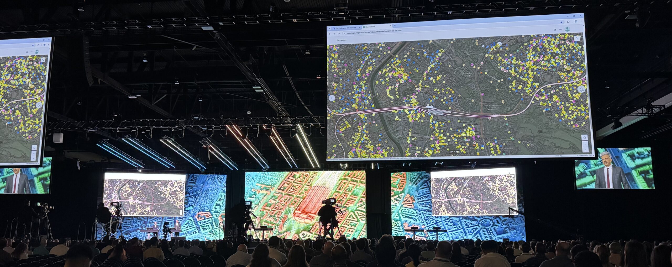


The Exhibit Hall at the San Diego Convention Center, where attendees could speak to Esri employees and others whose organizations are built around GIS.
Each year, the Esri User Conference offers a close-up look at the present and future of the GIS industry. At the 2026 conference in San Diego, the theme “Creating a More Intelligent World” reflected a broader shift taking place across the field: GIS is no longer just a tool for managing and displaying spatial data, but a powerful platform helping organizations make better decisions, manage infrastructure, respond to emergencies, and engage with communities.
While there were plenty of exciting announcements of new products and improvements that will be valuable for daily users of Esri products, the biggest takeaways were about how quickly GIS is becoming a platform to help organizations and individuals work more efficiently and make smarter decisions.
AI as a Practical GIS Tool
As a surprise to absolutely no one, AI was a central topic. Rather than presenting AI as a single capability, Esri organized its strategy into three complementary categories:
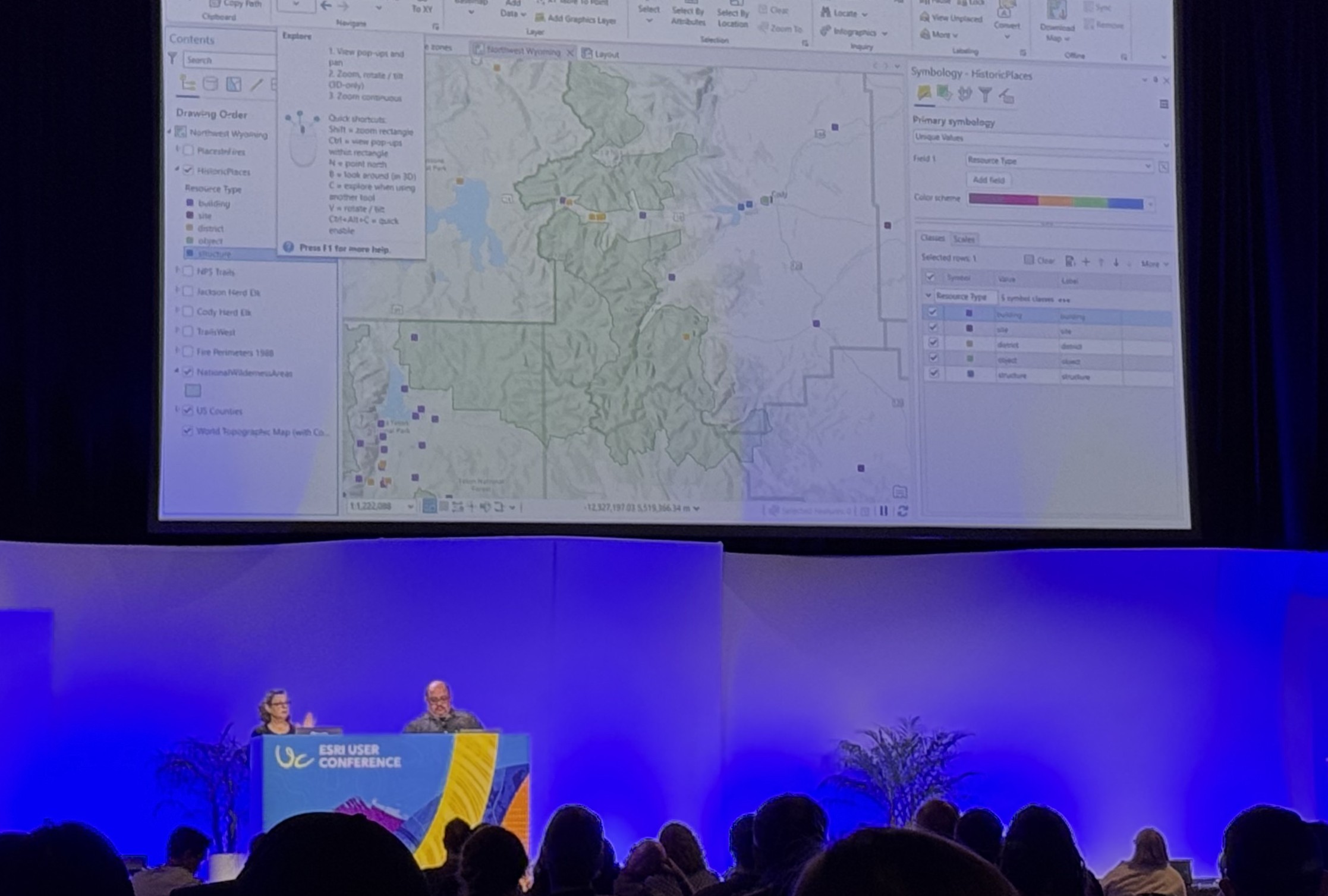
A live demo on Day Four of the conference, demonstrating the newest improvements in ArcGIS Pro.
- AI Tools: Preconfigured processing tools, which require set inputs and provide set outputs (and have actually been available within Esri products for years, albeit with significant recent improvements);
- Assistive AI: Natural language AI models, which are flexible at providing assistance for a wide variety of tasks; and
- Agentic AI: Similar to assistive AI but specialized towards specific workflows – and now Esri users can create their own task-specific AI agents.
Esri CEO Jack Dangermond also emphasized several times that AI, despite its impressive capabilities, often lacks the real-world context needed to provide informed advice about places and people. His unofficial tagline of the conference, “at the same time,” captured a two-way relationship: while AI is improving GIS, at the same time GIS is improving AI by enabling its understanding of the real-world, geospatial context where all natural and human experience actually takes place. The understanding of this geospatial context is actively making AI better at applying its hypothetical knowledge to real, physical spaces.
GIS Connects People, not Data
It’s easy for people, too, to see data as abstract concepts instead of real-world knowledge and insights. But recent GIS advancements in building custom web maps, apps, and dashboards, as well as making them more accessible to the public, help organizations visualize their data in physical space to make faster and more informed decisions.
One session that especially stood out to me featured Jamaican Prime Minister Andrew Michael Holness. The prime minister discussed Jamaica’s use of an integrated country-wide GIS system, prepared for exactly this type of situation, to drive their rapid disaster response program after the devastating landfall of Hurricane Melissa in 2025. As communities reported damage through WhatsApp, Jamaica’s GIS team converted those reports into information-rich geospatial layers. They then combined those reports with radar and optical imagery to create a national dashboard that guided emergency response efforts. Their geospatial damage classification framework allowed emergency medical teams to instantly know where they were needed most, what to expect, and ensure no community was overlooked in their response.
Good Data, and Good People, Still Matter and Will Always Matter
Even with all the excitement around AI integration, almost every technical session cautioned that technology is only ever as good as the data and people behind it. As one presenter put it to me when we were discussing her project in the Map Gallery, “garbage in, garbage out.”

Jackson standing in the Map Gallery, where hundreds of maps were on display and attendees voted on their pick for the Mapper’s Choice Award.
Organizations that invest in maintaining accurate and well-organized datasets will continue to get the most value from the newest AI and GIS functionalities, it’s detail-oriented people that keep these datasets manageable. Strong data management may never make headlines, but it will continue to be the foundation for the meaningful analysis, informed decisions, and smart actions that do. As AI capabilities continue to grow, that foundation will only become more important.
The 2026 Esri User Conference made one thing clear: the future of GIS isn’t about replacing expertise with AI. It’s about giving planners, engineers, emergency managers, and analysts better tools to solve increasingly complex problems. For public agencies, that means making faster decisions, facilitating stronger collaboration, and delivering better outcomes for the communities they serve – or, in other words, creating a more intelligent world.
At Scout, we’re always looking for practical ways to apply new GIS capabilities and help our clients deliver successful projects. For help with your project or any questions, contact us today at: hello@scoutenv.com.












 Headquarters: San Diego
 Staff Nationwide and in Hawaii